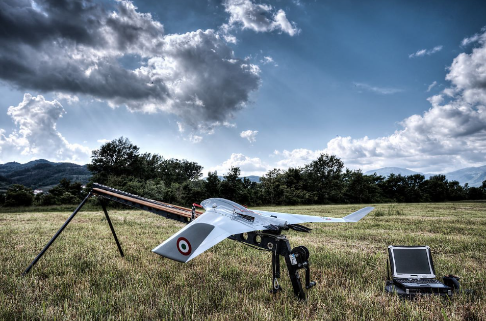
Aerial drone surveying is a process whereby a drone is used to take photographs or videos of a specific area from a bird’s eye view. This type of surveying can be used for a variety of purposes, such as mapping an area, inspecting terrain, and measuring land.
Aerial drone surveying has become increasingly popular in recent years due to the advancement in technology. Drones are now more accessible and easy to use, making them a viable option for surveying purposes.
There are many benefits to using drones for surveying. Drones can cover large areas quickly and efficiently, and they can reach places that are difficult to access. Aerial drone surveying is also less disruptive than other methods of surveying.
Why is an aerial drone survey important for businesses?
An aerial drone survey can be an important tool for businesses in a variety of industries. By conducting a survey with a drone, businesses can get an up-close and detailed view of their property or project site. This can be helpful for things like seeing the progress of a construction project, assessing crop health, or inspecting a roof for damage.
Not only does an aerial drone survey provide businesses with detailed information, but it can also be a cost-effective way to collect data. When compared to traditional surveying methods, a drone survey can often be completed in a fraction of the time and at a fraction of the cost.
If you’re considering an aerial drone survey for your business, be sure to consult with a professional to ensure that it’s the right solution for your specific needs.
The Benefits of Aerial Drone Surveys
Surveys aerial mapping offers a number of advantages over traditional surveying methods, including being more cost-effective, faster, and more accurate.
Drone surveys can be used for a variety of purposes, including mapping land, measuring crop yield, inspecting infrastructure, and more. They can also be used in emergency situations, such as assessing damage after a natural disaster.
If you’re considering using aerial drone surveys for your next project, here are some of the key benefits you can expect:
– Cost-effective: Aerial drone surveys are more cost-effective than traditional surveying methods, such as using planes or helicopters.
– Faster: Aerial drone surveys can be completed in a fraction of the time of traditional surveys.
– More accurate: Drone surveys give more accurate data.
Conclusion
Aerial drone survey is more efficient and accurate than traditional methods, and it can be used in a variety of applications.
For more information visit this website!